Best Marine GPS App in 2026: 8 Apps Compared

How we put this together: we compare official feature and pricing pages, app store listings, privacy policies and public user reviews. Prices change, so check the provider's site before you pay.
Key takeaways
- Navionics Boating is our pick for most boaters because its charts are detailed, widely supported, and easy to read on a phone or tablet.
- Savvy Navvy stands out for sailors who want weather-aware passage planning rather than a simple chart view.
- Aqua Map is a strong choice for United States coastal boaters who want detailed survey data and instrument connections.
- OpenCPN is the best no-cost route for boaters who are comfortable setting up charts themselves.
- No single app replaces good seamanship, paper charts, or a fixed chartplotter, so treat a phone or tablet as one part of your navigation setup.
Quick comparison
| Name | Who it suits | Starting price | Free option | |
|---|---|---|---|---|
 Navionics Boating | Most boaters | $49.99 per year | Free trial | Visit |
 Savvy Navvy | Sailors and passage planning | $99 per year | Yes | Visit |
 Aqua Map | United States coastal boating | $14.99 per year | Yes | Visit |
 iNavX | Advanced users who want control | See website | No | Visit |
 Garmin ActiveCaptain | Garmin owners | Free | Yes | Visit |
 C-MAP | Classic chart fans on a budget | $14.99 per year | Yes | Visit |
 Wavve Boating | Beginners and shallow water | $69.99 per year | Free trial | Visit |
 OpenCPN | Low-cost desktop and mobile use | Free | Yes | Visit |
The best marine GPS apps
We looked for apps that show real nautical charts, work when you lose signal, and help with routes, tides, and position. The eight below cover different budgets, boat types, and levels of experience.
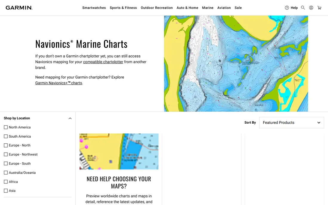
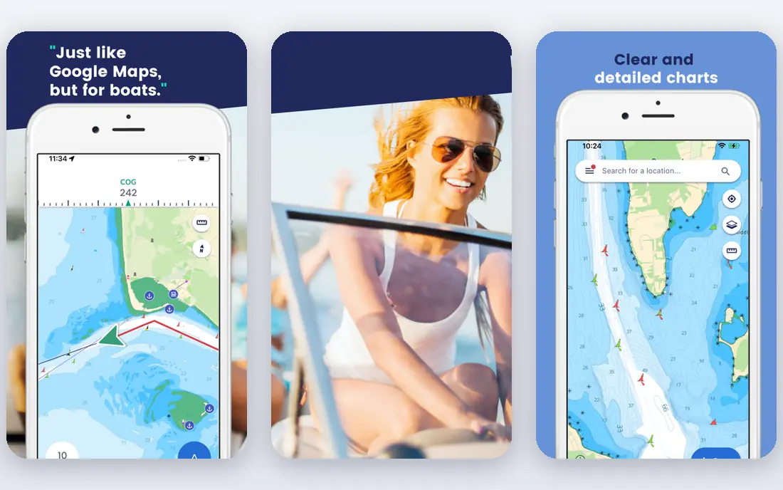
Navionics Boating is the app we would start with if you only want one marine GPS app. Its charts are clear at a glance, routes are simple to build, and the app shows depth, hazards, and points of interest in a way that new boaters can follow without a long learning period. The community layer, built from sonar logs shared by other boaters, can add useful detail in places where official surveys are older, though it should never replace checking the official chart and local notices.
The main catch is regional pricing. A subscription that covers one area may not cover the next cruising ground, so check coverage before a longer trip and download the charts you need while you have a good connection. Garmin ownership also means the app pairs well with Garmin chartplotters and accessories, which is a plus for owners of that hardware and less of a draw if you use another brand.
- Detailed charts with community sonar data
- Daily chart updates on many plans
- Works with Garmin hardware
- Charts are sold by region, so wide cruising can cost more
- Some advanced features sit behind higher tiers
Savvy Navvy thinks in passages rather than single waypoints. You set a start, a destination, and your boat details, and the app builds a route that takes forecast wind and weather into account. For sailors planning a coastal hop or a longer crossing, that approach can save time and help you judge whether a departure window looks sensible. The interface keeps the plan visible without burying it under layers of menus.
That strength is also its limit. If you mostly run a short, familiar route to a fishing spot or a nearby anchorage, the extra planning tools may feel like more than you need. The price is higher than a basic chart app, so it makes most sense for boaters who will use the routing and weather tools often enough to justify the yearly cost.
- Weather-aware routing for sailing passages
- Clean route planning view
- Global chart coverage on paid plans
- Higher price than simpler chart apps
- Less suited to boaters who only need a basic chart view
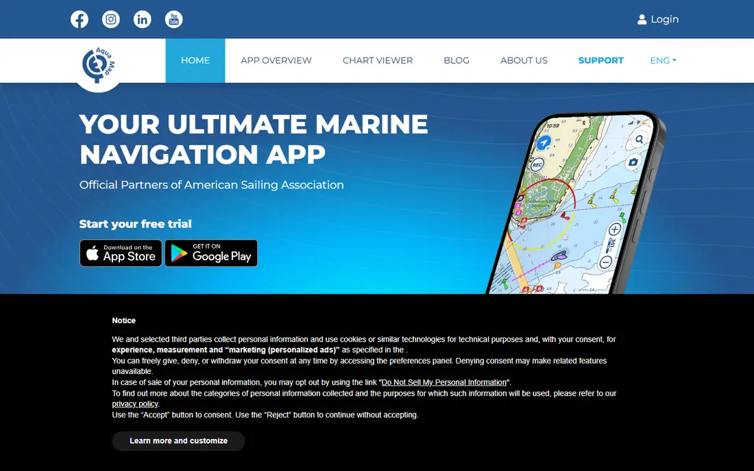
Aqua Map earns its place for boaters in United States waters who want depth in the data, not just a pretty chart. It draws on detailed survey and corps data, and it can connect to onboard instruments and AIS over Wi-Fi, which turns a tablet into a useful second display at the helm. Track recording and the anchor alarm are practical tools that get used on real trips, not just in demos.
The trade-off is choice. Picking chart regions and add-ons takes some reading, and a new user can buy more or less than they need on the first pass. Take time at home to set up the regions you will actually use, test the anchor alarm in a calm anchorage, and confirm that any instrument connection works before you rely on it underway.
- Detailed United States chart data
- Instrument and AIS connections
- Strong anchor alarm and track recording
- Chart choices can confuse new users
- Full features require paid chart and add-on choices
iNavX is for boaters who like to shape their own setup. It supports a wide range of chart formats and lets you tune the display, connect instruments, and build a system that matches an existing onboard network. Experienced users who already know what charts and data they want will get more from that flexibility than they will from a simpler app that makes most choices for them.
Beginners should be honest about that learning curve. You will need to choose and buy charts, learn the settings, and test the setup before a trip. If that sounds like a chore rather than a project, one of the simpler apps above will get you on the water faster and with less chance of a setup error.
- Wide chart format support
- Instrument and AIS integration
- Highly customisable display
- Learning curve is steep for beginners
- Chart purchases are separate from the app itself
Garmin ActiveCaptain is best understood as a companion, not a direct rival to a full chart app. If you already run Garmin electronics, it lets you plan routes and waypoints on a phone, sync them to the plotter, and keep device software up to date. That workflow removes a lot of manual transfer work and keeps the helm display and the phone in step.
If you do not own Garmin hardware, the appeal drops sharply. The app is not the right pick as a standalone marine GPS app for a boater starting from scratch. Buy it into your thinking only when it sits alongside a Garmin system, where it adds clear, practical value at no extra app cost.
- Free companion app for Garmin hardware
- Route and waypoint sync
- Software updates for compatible devices
- Not a full standalone chart app for non-Garmin users
- Value depends on owning Garmin gear
C-MAP appeals to boaters who like a traditional chart look and do not want to pay a premium for planning extras they will rarely use. The entry price is low, the charts are easy to read, and offline use on paid plans means you are not dependent on a mobile signal once you leave the marina. For day trips and familiar waters, that combination is hard to fault.
Where it falls short is in the extras. Weather routing, advanced instrument views, and community depth layers are thinner here than in the leaders above. That is a fair trade for the price, but sailors planning longer passages should compare it closely with Savvy Navvy before deciding that the saving is worth the missing tools.
- Affordable entry price
- Familiar chart style
- Offline charts on paid plans
- Fewer passage planning extras than Savvy Navvy
- Feature set varies by region and plan
Wavve Boating is built for boaters who want clear guidance without a manual. The interface is simple, the chart shading helps show where water may be too shallow for your draft, and marina and anchorage details help with the practical side of a day out. For new boaters, and for anyone boating in shallow or shifting water, that clarity matters more than a long feature list.
The price sits above the cheapest chart apps, so it is worth using the trial to check coverage in your home waters first. If the shading and local detail look strong where you boat, the extra cost can be justified. If your area is thinly covered, a cheaper chart app may serve you just as well.
- Simple interface for new boaters
- Draft-aware depth shading
- Marina and anchorage information
- Higher yearly price than basic chart apps
- Coverage and detail vary by area
OpenCPN is the open-source option, and it is a genuine alternative rather than a token free pick. On a laptop it is a capable chartplotter, it supports many chart formats, and plugins add tools for weather, AIS, and routing. Boaters who enjoy setting up their own system, or who need a low-cost backup, will find real value here.
The cost is time, not money. You will source charts, learn the interface, and accept a mobile experience that feels less polished than a paid app. For a primary navigation app on a phone, most boaters will prefer a paid option. As a planning tool, a backup, or a desktop companion, OpenCPN is hard to beat for the price.
- Free on desktop
- Wide chart support
- Plugin system for extra tools
- Setup takes effort
- Mobile experience is less polished than paid apps
How we picked these
We compared official feature pages, pricing pages, and app-store listings, and we checked public user reviews for recurring complaints about chart coverage, offline use, and pricing. We favoured apps that are still maintained, that show real nautical charts rather than a road map with a boat icon, and that work on current phones and tablets. We also kept a mix of prices, from free to premium, so the list reflects what different boaters actually buy. We did not test these apps on the water for this guide, and we did not accept vendor claims at face value where reviews or documentation pointed the other way.
What to check before you buy
Start with your home waters. An app with superb coverage in one region can be thin in another, so confirm chart detail, tide data, and offline downloads for the places you will actually visit. Next, check how routes, waypoints, and tracks are stored, and whether you can export them if you change apps later. Battery life matters too: a bright tablet running GPS all day will drain faster than you expect, so plan for charging or a backup device. Finally, read the subscription terms. Some apps charge by region, some by feature, and some by device, and the cheapest headline price is not always the cheapest total for a full season. Keep paper charts or a fixed plotter as a backup, and check local notices and weather before every departure.
Frequently asked questions
What is the best boating navigation app for beginners?
Navionics Boating and Wavve Boating are the easiest starting points in this list. Navionics gives you detailed charts and a large user base, while Wavve adds draft-aware shading that helps new boaters judge shallow water. Try a trial in your home waters before paying for a full year.
Do marine GPS apps work without mobile signal?
Yes, if you download charts in advance. Most paid apps in this list offer offline charts, but the download step matters: do it on Wi-Fi before you leave, and confirm that the area, zoom levels, and tide data are stored. A phone GPS receiver does not need a mobile signal to find your position, but maps and weather updates do need data unless they are saved locally.
Is a marine GPS app enough for safe navigation?
No, on its own it is not enough. Use the app alongside up-to-date charts, a fixed plotter where fitted, local weather forecasts, and notices to mariners. Phones can overheat, run out of battery, or lose GPS in poor conditions, so carry a backup method and know how to use it.
Which app is best for sailing passages?
Savvy Navvy is our pick for passage planning because it builds weather-aware routes and shows the plan in a clear form. Navionics and Aqua Map are strong for chart detail and day-to-day navigation, but they do not match Savvy Navvy for passage-level planning.
What is the best free marine navigation app?
OpenCPN is the strongest free option, especially on desktop, though setup takes effort. Garmin ActiveCaptain is free for Garmin owners, and several paid apps offer free tiers or trials that are useful for short trips. Free tiers often limit chart regions or features, so check what is included before relying on one.
Can I use a marine GPS app on both a phone and a tablet?
In most cases yes, with one account, but check the app store terms for your platform. Some subscriptions cover both devices, while others are tied to one store account or device type. Test the sync on both devices at home so you are not sorting out login problems at the launch ramp.
Sources we checked (10)
- https://www.wavveboating.com/blog/apps-like-navionics-alternatives/
- https://www.wavveboating.com/blog/best-easy-to-use-marine-navigation-app/
- https://www.navionics.com
- https://www.savvynavvy.com
- https://www.aquamap.app
- https://www.inavx.com
- https://www.garmin.com
- https://www.c-map.com
- https://www.wavveboating.com
- https://opencpn.org

Online Jobs is an independent blog about careers, online work, learning new skills and the tools that help people earn. More about us.
Keep reading
All posts
n8n Alternatives
n8n alternatives compared for 2026, with Zapier, Make, Activepieces, and more, covering visual builders, code steps, self-hosting, and pricing models.

eBay Alternatives
Looking for ebay alternatives? We compared 9 marketplaces for sellers on fees, buyer reach, categories and ease of listing, to help you sell with confidence.

ZoomInfo Alternatives
The best ZoomInfo alternatives in 2026, compared on price, free plans, data coverage, and which tool fits small teams or large sales teams best in detail.