Best Hunting Apps in 2026: 8 Apps Compared


Land ownership maps across states · Starting price: $34.99 per year
How we put this together: we compare official feature and pricing pages, app store listings, privacy policies and public user reviews. Prices change, so check the provider's site before you pay.
Key takeaways
- onX Hunt is the standard for land ownership and property boundaries, and it suits hunters who travel across states.
- HuntStand offers the best free starting point, with a genuinely useful free tier and paid plans from $34.99 per year.
- Spartan Forge and HuntWise add deer movement prediction for hunters who plan sits around animal activity.
- GoHunt is the specialist pick for Western big-game hunters who need draw odds and unit research, not just maps.
Quick comparison
| Name | Who it suits | Starting price | Free option | |
|---|---|---|---|---|
| onX Hunt | Land ownership maps across states | $34.99 per year | No | Visit |
 HuntStand | Free mapping and scouting | $34.99 per year | Yes | Visit |
 HuntWise | Predictions and weather in one app | $59.99 per year | Yes | Visit |
 BaseMap | 3D maps and draw planning | $39.99 per year | Yes | Visit |
 Spartan Forge | AI deer movement prediction | $79.99 per year | Yes | Visit |
 GoHunt | Western draw odds research | See website | No | Visit |
 CoHunt | Low-cost mapping with mesh sharing | $24.99 per year | No | Visit |
 Infinite Outdoors | Booking private land hunts | Free | Yes | Visit |
The best hunting apps
Hunting apps mostly do one of three jobs: show who owns the land, predict where game will move, or help you book access. The best app for you depends on which job matters most, and on whether you hunt one local property or travel across several states each season.
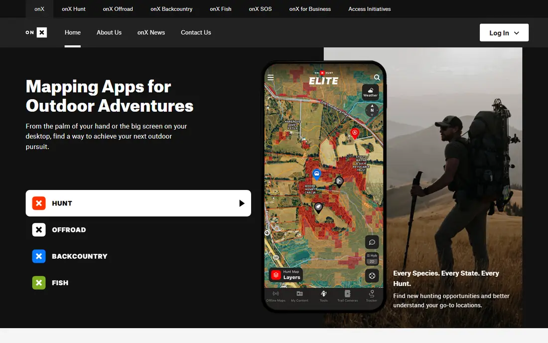
onX Hunt is the app most hunters name first, and for good reason: its private and public land boundaries, landowner names, and parcel data are the most complete in the category. A single-state Premium plan starts at $34.99 per year, while Elite at $99.99 per year covers all 50 states and Canada. Offline maps, waypoint sharing, and trail camera integrations round out a serious scouting toolkit.
There is no genuinely free tier, only a short trial in some cases, so casual hunters should weigh the cost against how often they hunt new ground. For multi-state hunters and anyone who regularly checks land access, onX Hunt is the benchmark other apps are measured against.
- Best landowner and boundary data
- Offline maps
- Trail camera integrations
- No true free tier
- Elite at $99.99 per year is pricey for casual hunters
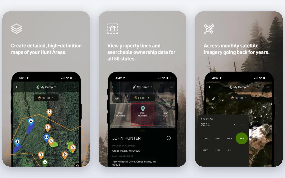
HuntStand is the best place to start because its free tier is genuinely usable for basic mapping and scouting. Paid plans start at $34.99 per year for Pro, with Ultimate at $99.99 per year adding activity forecasts and more layers. Property tools, stand and blind markers, and trail camera photo logging help hunters manage a lease or a favorite property through the season.
Offline maps and landowner data require a paid tier, which is the main reason to upgrade. For hunters who scout one or two properties and want a free app that grows with them, HuntStand is the easiest recommendation on this list.
- Useful free tier
- Property and lease tools
- Trail camera photo logging
- Paid tiers needed for offline maps and landowner data
- Activity forecasts sit on Ultimate
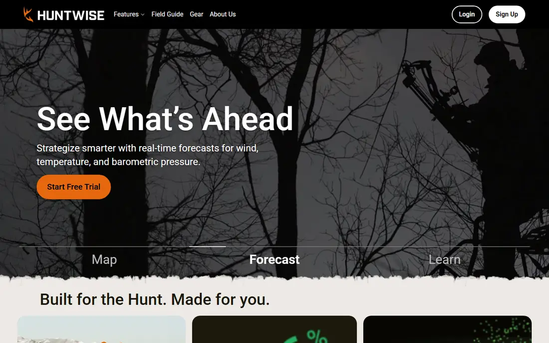
HuntWise combines mapping with hunting predictions, weather, wind, and solunar-style timing tools that help hunters choose when and where to sit. A free tier covers basic use, with paid plans from $59.99 per year and a higher tier at $119.99 per year for fuller features. Shared hunt areas and pins make it easy to plan with a group.
The price climbs above simpler mapping apps, and prediction quality varies by species and region, so treat forecasts as guidance rather than certainty. For whitetail hunters who plan sits around weather and movement data, HuntWise packs a lot into one subscription.
- Deer movement predictions
- Weather and wind tools
- Mapping and land data included
- Top tier reaches $119.99 per year
- Some features vary by region
BaseMap offers 3D terrain maps online and offline, location sharing, and more than 800 map layers on its Pro plan at $39.99 per year. Pro Advantage at $69.99 per year adds a Global Rescue membership, while Pro Ultimate at $99.99 per year adds HuntPlanner draw odds and harvest data for Western hunters. Laser rangefinder mapping is a bonus for rifle hunters who mark ranged targets.
The app lacks trail-camera photo sync, and a few features remain iOS-only, which Android users should check before subscribing. For hunters who value 3D terrain and draw planning in one app, BaseMap is a strong alternative to onX Hunt.
- 3D maps online and offline
- HuntPlanner draw odds on Ultimate
- Global Rescue on higher tiers
- No trail-camera photo sync found
- Some features are iOS-only
Spartan Forge focuses on predicting deer movement, using research-backed models, historical weather, and wind data to forecast activity. LiDAR maps, high-resolution satellite and UAV imagery, and offline maps support detailed scouting, and an AI assistant answers planning questions. Pricing is $79.99 per year, with a free tier for basic use.
The price is higher than HuntStand or a single-state onX plan, and the community is smaller, so shared content and local tips are thinner. Hunters who already have a mapping app and want better movement predictions will get the most from Spartan Forge.
- Deer movement forecasts built on research data
- LiDAR maps
- High-resolution imagery
- Higher price than basic mapping apps
- Smaller user base than onX or HuntStand
GoHunt is the research tool Western big-game hunters trust for draw odds, unit profiles, harvest data, and season dates across Western states. Its Insider membership adds filtering tools that help hunters choose units with realistic odds rather than guessing from forums. A gear shop and editorial content sit alongside the research tools.
Pricing is membership-based and not presented as a single simple entry price, so check the current membership page before budgeting. Eastern hunters focused on whitetail will get less value here, but for elk, mule deer, and other Western draws, GoHunt is in a class of its own.
- Deepest Western draw odds and unit research
- Gear shop and content included
- Trusted by Western hunters
- Pricing not listed as a simple entry tier
- Less useful for Eastern whitetail hunters
CoHunt is a newer, lower-cost mapping app at $24.99 per year for a single tier, with property boundaries for all 50 states plus Canada. Its standout feature is group sharing that works without cell coverage, including Bluetooth mesh and radio options that keep a party connected in the backcountry. A ballistics calculator and dog tracking integrations add practical value.
As a newer app, CoHunt has a smaller community and fewer trail camera integrations than onX Hunt. For budget-conscious hunters and groups that hunt beyond cell coverage, CoHunt offers remarkable value for the price.
- Lowest paid price here
- Property data for all 50 states
- Bluetooth mesh sharing without signal
- Newer and smaller than rivals
- Fewer trail camera integrations than onX
Infinite Outdoors solves a different problem from the mapping apps: finding private land to hunt without hiring an outfitter. Hunters browse vetted properties, book hunts directly, and use mapping tools to scout the ground, with an Access+ membership at $49.99 per year for extra benefits. The app itself is free to download and browse.
Booking fees are extra on top of membership, and property coverage varies by state, so hunters in some regions will find more options than others. For hunters without private access of their own, Infinite Outdoors opens ground that maps alone cannot.
- Book vetted private properties
- Free to browse
- Mapping tools included
- Booking costs are extra
- Coverage varies by state
How we picked these
We compared vendor pricing, map coverage, landowner data, prediction features, and booking models for apps actively used by US hunters in 2026. We included mapping leaders, prediction specialists, a draw research tool, and a booking platform because hunting apps serve different needs. Prices reflect app store listings and vendor pages or recent comparisons, and GoHunt is marked See website because its membership pricing is not a single published entry tier.
How to choose a hunting app
Start with where you hunt
Single-property hunters can start free with HuntStand, while multi-state hunters need onX Hunt Elite or CoHunt for nationwide coverage. Western draw hunters should add GoHunt research regardless of which mapping app they choose.
Download offline maps before you leave
Cell coverage fails in the backcountry, and an app without downloaded maps is useless when it matters most. Check that offline maps work on your phone model, and download the exact area you will hunt, not just the general region.
Treat boundary lines as a guide, not a survey
App property lines come from public parcel data and can be outdated or slightly off. Confirm access with the landowner, check your state wildlife agency rules, and never rely on an app alone to decide whether ground is legal to hunt.
Frequently asked questions
What is the best hunting app overall?
onX Hunt is the best hunting app overall for most hunters because its land ownership data, offline maps, and multi-state coverage are the most complete. HuntStand is the best free starting point, and CoHunt is the best low-cost paid alternative.
What is the best hunting map app for private land?
onX Hunt offers the most detailed private land boundaries and landowner names, while HuntStand and CoHunt cover similar ground at lower prices. Always confirm boundaries with the landowner, since app lines are guides rather than legal surveys.
What is the best free hunting app?
HuntStand has the best free hunting app tier, with usable mapping and scouting at no cost. HuntWise and Spartan Forge also offer free tiers, but their best prediction features sit on paid plans.
What is the best app for hunting deer movement?
Spartan Forge and HuntWise are the best apps for deer movement prediction, with Spartan Forge leading on research-backed forecasts and HuntWise combining predictions with weather and wind tools. Predictions help planning but never replace scouting and field sign.
Do hunting apps work without cell service?
Yes, if you download offline maps before the hunt, and CoHunt adds Bluetooth mesh sharing for groups beyond coverage. Always download maps in advance and carry a backup such as a paper map or a dedicated GPS unit for remote trips.
Sources we checked (8)

Online Jobs is an independent blog about careers, online work, learning new skills and the tools that help people earn. More about us.
Keep reading
All posts
n8n Alternatives
n8n alternatives compared for 2026, with Zapier, Make, Activepieces, and more, covering visual builders, code steps, self-hosting, and pricing models.

eBay Alternatives
Looking for ebay alternatives? We compared 9 marketplaces for sellers on fees, buyer reach, categories and ease of listing, to help you sell with confidence.

ZoomInfo Alternatives
The best ZoomInfo alternatives in 2026, compared on price, free plans, data coverage, and which tool fits small teams or large sales teams best in detail.