Best GIS Software in 2026: 8 Products Compared


enterprise GIS teams and advanced analysis · Starting price: See website
How we put this together: we compare official feature and pricing pages, app store listings, privacy policies and public user reviews. Prices change, so check the provider's site before you pay.
Key takeaways
- Desktop GIS suits analysis, while web GIS suits maps inside apps and websites, so pick by output first.
- QGIS and GRASS GIS offer full desktop GIS for free, while ArcGIS Pro suits enterprise teams with Esri systems.
- Check data formats, plugins, and support, since a free tool with no vendor help needs in-house skill.
- Mapbox and CARTO matter most when the end product is a map inside an app, not a desktop analysis.
Quick comparison
| Name | Who it suits | Starting price | Free option | |
|---|---|---|---|---|
| ArcGIS Pro | enterprise GIS teams and advanced analysis | See website | Free trial | Visit |
 QGIS | anyone who wants a complete GIS for free | Free | Yes | Visit |
 MapInfo Pro | business mapping in telecom and utilities | See website | Free trial | Visit |
 Global Mapper | format conversion, terrain, and LiDAR | See website | Free trial | Visit |
 CARTO | cloud location intelligence at scale | See website | Free trial | Visit |
 Mapbox | custom maps inside apps and websites | See website | Yes | Visit |
 GRASS GIS | serious raster analysis and modelling | Free | Yes | Visit |
 Google Earth Pro | fast 3D visualization and exploration | Free | Yes | Visit |
The best GIS software
We looked for options that a real team can set up, use week after week, and explain to a colleague without a long training session. The list below covers different budgets and different ways of working, so start with the fit for your team size and your main task, then check price and limits before you sign up.
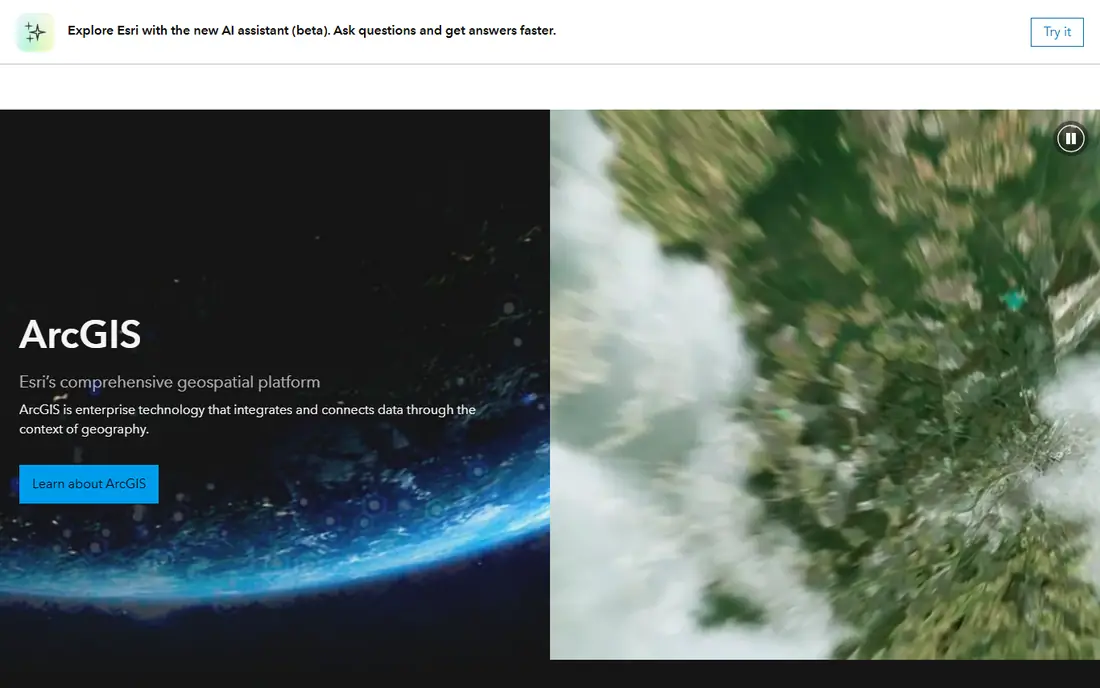
ArcGIS Pro fits enterprise and government teams that already use Esri. ArcGIS Pro is Esri desktop GIS for mapping, analysis, and 3D work, linked to ArcGIS Online and Enterprise. That focus shapes daily use: its analysis toolboxes and geodatabase support suit teams that run large, shared spatial datasets. For a team that needs steady, repeatable work, this is a practical starting point, because the core work stays visible in one place and the next step is clear without hunting through separate tools. The honest catch is small teams should work out licence and extension costs, since the full setup can be expensive. If that limit touches your main workflow, shortlist a second option before you commit and test it with a real example from your own work. When the fit is right, ArcGIS Pro keeps spatial analysis and shared datasets tidy and gives a small team a clear way to repeat what works, week after week.
- Advanced spatial analysis
- 3D and geodatabases
- Esri ecosystem
- Licensing cost and extensions add up
- Windows-only for Pro
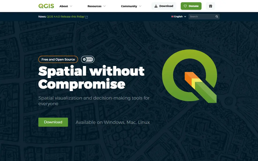
QGIS fits students, consultants, NGOs, and small firms that need full GIS. QGIS is a free, open-source desktop GIS with vector and raster analysis, 3D views, and print layouts. That focus shapes daily use: its plugin library and Python scripting let users add tools for field data, geocoding, and custom analysis. For a team that needs steady, repeatable work, this is a practical starting point, because the core work stays visible in one place and the next step is clear without hunting through separate tools. The honest catch is teams that need a vendor help desk should budget for commercial support, since community help is the default. If that limit touches your main workflow, shortlist a second option before you commit and test it with a real example from your own work. When the fit is right, QGIS keeps maps, analysis, and print layouts tidy and gives a small team a clear way to repeat what works, week after week.
- Free and open source
- Many formats
- Large plugin library
- Plugin quality varies
- Support is community-based unless you hire help
MapInfo Pro fits telecom, utility, and retail teams that need business mapping. MapInfo Pro offers desktop mapping and analysis for business users, with thematic maps and data tools. That focus shapes daily use: its business mapping focus helps telecom and retail teams map customers, territories, and networks. For a team that needs steady, repeatable work, this is a practical starting point, because the core work stays visible in one place and the next step is clear without hunting through separate tools. The honest catch is researchers who need deep raster analysis may prefer QGIS or GRASS GIS alongside it. If that limit touches your main workflow, shortlist a second option before you commit and test it with a real example from your own work. When the fit is right, MapInfo Pro keeps business maps and territory analysis tidy and gives a small team a clear way to repeat what works, week after week.
- Business mapping
- Thematic maps
- Data tools for retail and telecom
- Paid licence
- Enterprise-leaning pricing
Global Mapper fits surveyors and analysts who handle many formats and LiDAR data. Global Mapper handles format conversion, terrain analysis, and LiDAR processing in one desktop tool. That focus shapes daily use: its format breadth helps teams that receive data in many file types and need to convert and combine it fast. For a team that needs steady, repeatable work, this is a practical starting point, because the core work stays visible in one place and the next step is clear without hunting through separate tools. The honest catch is beginners should allow time to learn its many tools, since the interface covers a wide range of tasks. If that limit touches your main workflow, shortlist a second option before you commit and test it with a real example from your own work. When the fit is right, Global Mapper keeps terrain data and format conversion tidy and gives a small team a clear way to repeat what works, week after week.
- Very broad format support
- Terrain and LiDAR tools
- Fast conversion
- Interface is dense for beginners
- Pricing is quoted on some plans
CARTO fits teams that need cloud maps and location analysis at scale. CARTO is a cloud platform for spatial analysis and web maps, built for large location datasets. That focus shapes daily use: its cloud design helps teams publish maps and run analysis without managing desktop licences for every user. For a team that needs steady, repeatable work, this is a practical starting point, because the core work stays visible in one place and the next step is clear without hunting through separate tools. The honest catch is small teams with simple desktop maps may find a desktop tool simpler and cheaper. If that limit touches your main workflow, shortlist a second option before you commit and test it with a real example from your own work. When the fit is right, CARTO keeps cloud maps and location analysis tidy and gives a small team a clear way to repeat what works, week after week.
- Cloud spatial analysis
- Web maps
- Large dataset handling
- Cloud pricing depends on usage
- Needs data engineering for large setups
Mapbox fits developers who need custom maps inside an app or site. Mapbox provides map design tools and APIs for custom maps inside apps and websites. That focus shapes daily use: its developer tools let teams style maps, add data layers, and control how maps look inside their product. For a team that needs steady, repeatable work, this is a practical starting point, because the core work stays visible in one place and the next step is clear without hunting through separate tools. The honest catch is non-developers who need desktop analysis should use a desktop GIS instead, since Mapbox is built for embedding maps. If that limit touches your main workflow, shortlist a second option before you commit and test it with a real example from your own work. When the fit is right, Mapbox keeps embedded maps and map styles tidy and gives a small team a clear way to repeat what works, week after week.
- Custom map design
- Developer APIs
- Maps for apps and websites
- Usage-based pricing
- Needs developer skill
GRASS GIS fits researchers and environmental scientists who need deep raster work. GRASS GIS is a free, open-source GIS with hundreds of modules for raster, vector, and image analysis. That focus shapes daily use: its raster and hydrology tools suit researchers who need careful terrain, watershed, and time-series analysis. For a team that needs steady, repeatable work, this is a practical starting point, because the core work stays visible in one place and the next step is clear without hunting through separate tools. The honest catch is casual mappers may find its data model harder than QGIS, so allow time to learn its structure. If that limit touches your main workflow, shortlist a second option before you commit and test it with a real example from your own work. When the fit is right, GRASS GIS keeps raster analysis and environmental models tidy and gives a small team a clear way to repeat what works, week after week.
- Hundreds of raster and vector modules
- Hydrology and terrain tools
- Project and mapset model takes time to learn
- Interface is technical
Google Earth Pro fits anyone who needs fast visualization and simple geographic checks. Google Earth Pro offers a free 3D globe for visualization, imagery, and simple measurement. That focus shapes daily use: its fast globe view helps teams explore places, check locations, and share a visual view without GIS training. For a team that needs steady, repeatable work, this is a practical starting point, because the core work stays visible in one place and the next step is clear without hunting through separate tools. The honest catch is analysts who need editing, joins, and spatial models should use QGIS or ArcGIS Pro for that work. If that limit touches your main workflow, shortlist a second option before you commit and test it with a real example from your own work. When the fit is right, Google Earth Pro keeps visual exploration and location checks tidy and gives a small team a clear way to repeat what works, week after week.
- Free 3D globe
- Imagery and Street View links
- Simple measurement
- Limited editing and analysis
- Not a full GIS
How we picked these
We compared tools by desktop versus cloud use, analysis depth, format support, and whether pricing is free, published, or quoted. We checked vendor product pages for mapping, analysis, and web-map features, and we treated free tools as full options for many users, not as demos.
How to choose GIS software for your project
Start with the output. If you need a printed map or a spatial model, a desktop tool such as QGIS or ArcGIS Pro is the right start. If you need a map inside an app, a developer platform such as Mapbox or CARTO is the right start. Mixing those needs in one tool often leads to a poor fit. Check your data. List your formats, data sizes, and whether you need LiDAR, raster, or live feeds. A tool that cannot read your main format without conversion will add work to every project. Plan for support and skills. Free tools save licence cost but need in-house skill or paid support. Enterprise tools cost more but include vendor help, training, and shared systems. Choose the balance that matches your team, not only the licence price.
Frequently asked questions
What is the best GIS software?
QGIS is the best free desktop GIS for most users, while ArcGIS Pro is the best enterprise choice for teams already on Esri. Mapbox suits developers who need embedded maps.
What is the best GIS mapping software?
QGIS, ArcGIS Pro, and MapInfo Pro all offer strong desktop mapping. QGIS suits free, general mapping, ArcGIS Pro suits enterprise analysis, and MapInfo Pro suits business mapping.
What are the top GIS software options?
ArcGIS Pro, QGIS, MapInfo Pro, Global Mapper, CARTO, Mapbox, GRASS GIS, and Google Earth Pro cover desktop, cloud, and embedded map needs in this list.
What is the best software for GIS beginners?
QGIS is a strong free starting point for beginners, while Google Earth Pro suits fast visualization. Learners who need a vendor course may prefer ArcGIS Pro with training.
Is QGIS better than ArcGIS?
QGIS wins on cost and openness, while ArcGIS Pro wins on enterprise support, shared systems, and some advanced analysis. Many teams use both for different tasks.
Sources we checked (5)

Online Jobs is an independent blog about careers, online work, learning new skills and the tools that help people earn. More about us.
Keep reading
All posts
n8n Alternatives
n8n alternatives compared for 2026, with Zapier, Make, Activepieces, and more, covering visual builders, code steps, self-hosting, and pricing models.

iPhone Alternatives
Looking for iPhone alternatives in 2026? Compare 9 Android phones from Samsung, Google, OnePlus, and more, with cameras, battery life, and honest trade-offs.

eBay Alternatives
Looking for ebay alternatives? We compared 9 marketplaces for sellers on fees, buyer reach, categories and ease of listing, to help you sell with confidence.