Best Map Apps for Road Trips in 2026: 8 Tools Compared

How we put this together: we compare official feature and pricing pages, app store listings, privacy policies and public user reviews. Prices change, so check the provider's site before you pay.
Key takeaways
- Google Maps and Waze cover most driving needs, with Google Maps stronger for places and Waze stronger for live driver reports.
- Roadtrippers and Wanderlog are the better planners when a trip is about stops, stays, and shared itineraries rather than just the fastest route.
- HERE WeGo and Sygic help on routes with weak signal, because downloaded maps keep navigation working when data does not.
- The best road trip setup is usually two apps: one planner before you leave, and one live navigator while you drive.
Quick comparison
| Name | Who it suits | Starting price | Free option | |
|---|---|---|---|---|
 Google Maps | Everyday driving and places | Free | Yes | Visit |
 Waze | Live traffic and hazards | Free | Yes | Visit |
 Apple Maps | iPhone driving and guides | Free | Yes | Visit |
 Roadtrippers | Discovering stops along a route | See website | Free trial | Visit |
 Wanderlog | Shared trip planning | Free | Yes | Visit |
 HERE WeGo | Offline maps | Free | Yes | Visit |
 Sygic | Offline navigation | See website | Free trial | Visit |
 Gaia GPS | Back roads and off road routes | See website | Free trial | Visit |
The best map apps for road trips
We looked for apps that help at different stages of a road trip: planning stops, driving with live traffic, coping without signal, and finding fuel, food, and places to stay. No single app does all of that equally well, so this list mixes planners, navigators, and offline tools that work well together.
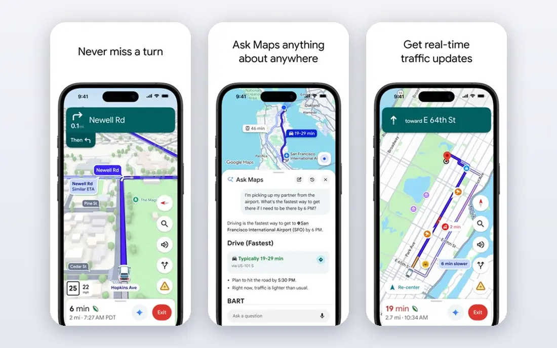
Google Maps is the default starting point for most road trips, and it earns that place with breadth rather than one standout trick. It handles driving directions, place search, reviews, opening hours, and multi-stop routes in one app, which keeps planning and driving in the same place. Shared lists also help a group agree on stops before anyone gets in the car.
The limits show up off the main roads and offline. Downloaded areas support driving directions, but walking, cycling, and transit directions need a connection, and live traffic needs data too. Download the full route area before you leave, check opening hours for stops that matter, and keep a second navigator handy for traffic-heavy days. For most trips, Google Maps is the reliable base that other apps build on.
- Broad place data
- Live traffic
- Downloadable areas for driving
- Offline directions are limited to driving
- Business details can be out of date
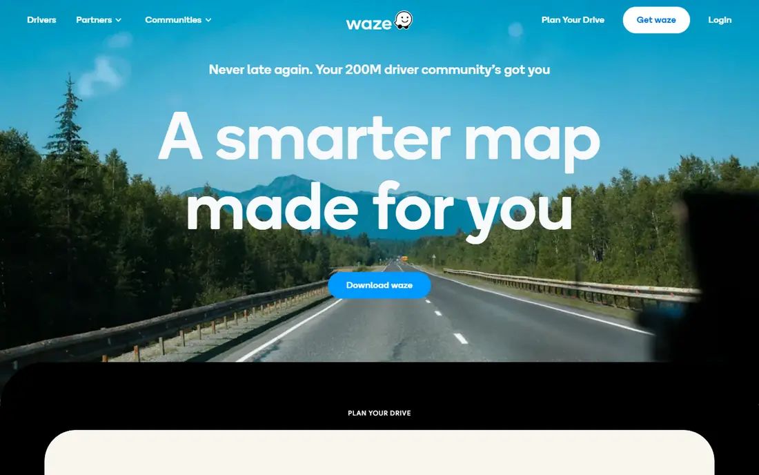
Waze is the app to open when traffic is the main worry. Its driver reports flag congestion, crashes, roadworks, and hazards, often before traffic speeds alone would show a problem, and it reroutes quickly when a better road opens up. The interface stays focused on driving, which helps when you want clear next turns rather than a list of nearby attractions.
Waze is less useful as a trip planner. It is built for cars, not for walking or transit, and its place and itinerary features are thinner than Google Maps. It also relies on a connection for reliable routing, so it should not be your only tool on a route with long coverage gaps. Pair it with a downloaded offline map, and use it as the live layer on top of a plan you made elsewhere.
- Fast driver reports on traffic and hazards
- Proactive rerouting
- Simple driving interface
- Needs a data connection
- Weaker for place discovery and multi-stop planning
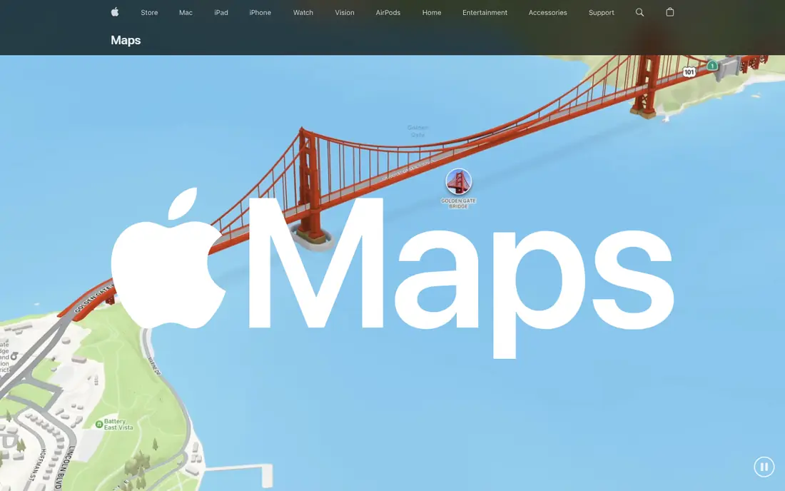
Apple Maps suits iPhone drivers who want navigation that fits the phone well, from CarPlay to Siri and shared arrival times. Its maps are clean, its voice guidance is easy to follow, and its curated guides can turn a vague idea, such as a food stop in a new city, into a short list worth checking. Offline maps on iPhone support several travel modes in selected areas, which helps on shorter coverage gaps.
The main limit is platform. Android drivers need another app, and Apple Maps place data can be thinner than Google Maps in some smaller towns. Treat it as a strong primary navigator on iPhone, and keep Google Maps or an offline app as a backup for place search and remote routes. For a straightforward driving holiday, it is calm, clear, and easy to live with.
- Clean iPhone integration
- Good voice guidance
- Curated guides for places
- IPhone only
- Place coverage varies outside major areas
Roadtrippers is the planner for trips where the stops matter as much as the destination. You set a route, then search within a corridor around it for attractions, parks, diners, campsites, and odd roadside sights that a fastest-route navigator would skip. That corridor search is its best feature, because it keeps discoveries close to the road you are already driving.
The free plan is limited, with a small waypoint allowance, so longer trips usually need the paid plan for more stops and offline maps. Coverage is also strongest in a few countries, so international drivers should check their region first. Check the current plan on the vendor site before paying, and use Roadtrippers for the fun part of planning while a live navigator handles the driving itself.
- Curated roadside attractions
- Search along a route corridor
- Trip cost estimates
- Coverage is strongest in the US, Canada, Australia, and New Zealand
- Fuller features need a paid plan
Wanderlog fits groups that plan together. Everyone can add places, vote on stops, and see the same day-by-day itinerary, which cuts down on the usual chain of screenshots and separate maps. It also handles the practical side of a trip, with lists for stays, food, and activities that stay tied to the route rather than scattered across notes apps.
Wanderlog does not replace a driving navigator, and that is fine as long as you plan for it. Build the itinerary here, then send the route to Google Maps, Waze, or Apple Maps for the drive. Paid features add extras such as offline access and email import, so check the pricing page if you want those tools. For a shared road trip, its clarity beats a prettier planner that only one person can edit.
- Unlimited stops on the free plan in many cases
- Shared itineraries
- Budget and place lists
- Not a live navigator
- Paid features needed for some offline and import tools
HERE WeGo is the quiet insurance policy for a road trip. You can download whole regions or countries before you leave, then search and navigate offline without worrying about signal in hills, deserts, or rural stretches. That makes it a strong backup navigator, and for some drivers it works well as the main app on a route with patchy coverage.
The trade-off is depth. Its place search and reviews are not as rich as Google Maps, so it is less fun for discovering restaurants and attractions. Use it the way experienced drivers do: plan and discover in another app, download your HERE maps before departure, and switch to it when signal drops or when you want a simple, steady navigator that does not depend on data.
- Download whole regions for offline use
- Clear driving guidance
- No account needed for basic use
- Place data is thinner than Google Maps
- Live traffic needs a connection
Sygic is a dedicated offline navigator with a long history on phones, and it suits drivers who want maps on the device rather than in the cloud. Download maps by region, drive with turn-by-turn guidance, and get speed limit information and safety alerts where local data supports them. A head-up display mode, which mirrors directions onto the windscreen area in supported setups, can help at night, though it needs a suitable phone mount and position.
The app is not free in full, so check the current plan and what it includes before buying, especially for traffic, maps updates, and extra features. Its menus also take a little learning, because it packs in more options than a simple free navigator. For a long trip through areas with weak signal, that depth is worth the setup time.
- Offline maps and navigation
- Speed limit and camera alerts in many regions
- Head-up display option
- Fuller features need a paid plan
- Interface feels busy at first
Gaia GPS earns its place when a road trip leaves the motorway. It offers topographic, satellite, and public land maps, lets you download them for offline use, and records the route you actually drove. That combination helps on forest roads, mountain passes, and routes to trailheads where a standard road navigator shows little more than a blank space.
For a city-to-city motorway trip, Gaia GPS is more tool than you need, and its best maps sit behind a paid plan. Check the pricing page and the map layers for your region before subscribing. Use it alongside a road navigator: one app for the highway, Gaia GPS for the last stretch of dirt road, the viewpoint detour, and the way back.
- Detailed topographic and satellite maps
- Offline map downloads
- Route recording
- Overkill for motorway trips
- Best features need a paid plan
How we picked these
We checked official feature pages, pricing pages, and app store listings, and we favored apps that are actively maintained and available in October 2026. We looked for coverage across planning, live driving, offline use, and off road routes, rather than picking eight apps that all do the same job. We also weighed real limits, such as offline mode restrictions and regional coverage, because those limits decide whether an app helps on a real trip.
We did not rank these apps on download counts alone. A popular navigator can still be a poor planner, and a niche offline tool can be the most important app on a remote route. The list is built to be used as a small stack, with a planner, a live navigator, and an offline backup.
Buying guide: building a road trip map stack
Start with the trip you are actually taking. A city break needs live traffic and place search. A long rural drive needs downloaded maps and fuel planning. A group trip needs a shared itinerary that everyone can edit. Pick one app for each job, and test the stack before departure.
Plan stops before you drive
Build the route in a planner such as Roadtrippers or Wanderlog, and keep stops realistic for driving time, fuel range, and daylight. Add buffer time for food, fuel, and detours, and save the final route in your navigator too. A plan that only lives in one app is easy to lose when signal fails.
Prepare for weak signal
Download maps for the whole route in Google Maps, Apple Maps, HERE WeGo, or Sygic before you leave, and update them close to departure. Carry a car charger, and keep a paper map or a saved offline route for remote stretches. Test offline navigation once at home so you are not learning it on a dark rural road.
Keep driving safe
Set the destination, stops, and music before you move, and let a passenger handle changes on the road. Use voice guidance, follow road signs over app instructions when they disagree, and pull over to replan rather than tapping through menus while driving. No app is worth a rushed decision at speed.
Frequently asked questions
Which map app is best for road trips overall?
Google Maps is the best all-round choice for most drivers, because it combines driving directions, place search, reviews, and downloadable areas. Add Waze for live traffic on busy routes, and a planner such as Roadtrippers or Wanderlog when stops and shared plans matter.
Can I use map apps without internet on a road trip?
Yes, if you prepare. Download maps in advance in Google Maps, Apple Maps, HERE WeGo, or Sygic, and check which travel modes work offline in your app. Live traffic, updated business hours, and rerouting around new incidents still need a connection.
Is Waze better than Google Maps for driving?
Waze is often better for live traffic and driver-reported hazards, while Google Maps is better for place discovery, multi-stop routes, and transit or walking options. Many drivers run Google Maps for the plan and switch to Waze when traffic builds.
What is the best app for planning road trip stops?
Roadtrippers is strong for discovering attractions along a route, and Wanderlog is strong for shared planning with a group. Choose Roadtrippers for curiosity-led trips and Wanderlog when several people need to edit the same itinerary.
Do road trip planner apps work outside the US?
It depends on the app. Google Maps, Waze, Apple Maps, and HERE WeGo have broad global coverage, while Roadtrippers is strongest in the US, Canada, Australia, and New Zealand. Check coverage for your destination before paying for a planner.
How many map apps do I need on a road trip?
Two or three is enough for most trips: a planner, a live navigator, and an offline backup. More apps add confusion, especially while driving, so pick a small stack, learn it before you leave, and keep the rest off the home screen.
Sources we checked (8)

Online Jobs is an independent blog about careers, online work, learning new skills and the tools that help people earn. More about us.
Keep reading
All posts
Best Flight Tracker Apps
Looking for the best flight tracker app? We compared 9 free and paid flight tracking apps for live maps, alerts, delays and airport pickups in 2026 today.

8 Best Hotel Booking Apps for Deals, Flexibility, and Rewards
Looking for the best hotel booking apps? We compare 8 apps on prices, cancellation, loyalty rewards, and coverage to help you book smarter trips for less.

n8n Alternatives
n8n alternatives compared for 2026, with Zapier, Make, Activepieces, and more, covering visual builders, code steps, self-hosting, and pricing models.